
History of Davanagere
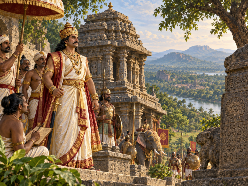
Davanagere has a long and diverse history shaped by several South Indian kingdoms and local rulers. The wider region was influenced at different times by the Mauryas and Satavahanas, followed by the Kadambas, Badami Chalukyas, Rashtrakutas and Kalyani Chalukyas. Later, parts of the area came under the Hoysalas and Yadavas of Devagiri before becoming part of the powerful Vijayanagara Empire in the 14th century. After the decline of Vijayanagara following the Battle of Talikota in 1565, local Nayakas and other regional powers gained control over different parts of the area. The region later came under the Kingdom of Mysore during the period of Hyder Ali and Tipu Sultan.
Davanagere also developed as an important centre for agriculture and trade. Its fertile surroundings supported crops such as cotton, maize, paddy and pulses, while the growth of the cotton and textile industry helped Davanagere become an important commercial town in central Karnataka. Davanagere Cotton Mills became especially well known and contributed to the industrial identity of the city.
Traditions of Davanagere
Discover the cultural traditions, celebrations, food and folk heritage that reflect the identity of Davanagere District.
Folk Arts & Music
Traditional folk performances, music and dance continue to play an important role in Davanagere's cultural life.
Festivals & Celebrations
Religious festivals, temple celebrations and community gatherings bring people together throughout the district.
Traditional Cuisine
Davanagere is known for its distinctive local flavours, traditional dishes and popular culinary specialties.
Crafts & Rural Traditions
Local craftsmanship, agricultural customs and rural traditions preserve the district's cultural heritage.
Major Towns
Banner Title
Lorem Ipsum is simply dumy text of the printing typesetting industry lorem ipsum.
Geographical Features of Davanagere District
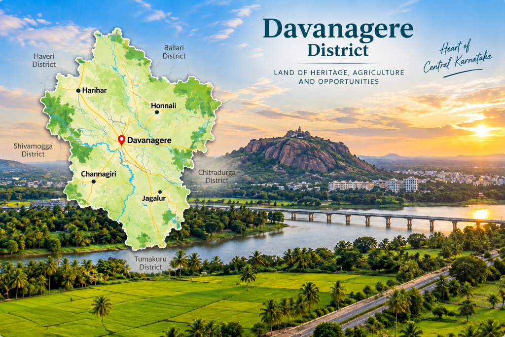
Davanagere District is located in the central part of Karnataka and forms an important part of the Deccan Plateau. Davanagere city lies at an elevation of about 602.5 metres above sea level, giving the region a generally moderate upland landscape. The Tungabhadra River is one of the most important rivers associated with Davanagere District. It flows through the Honnali region and forms a natural boundary in parts of the district. Lakes and reservoirs such as Shanthi Sagara, Kundavada Lake and Kondajji also contribute to the district’s water resources and natural scenery.
The district is characterized by broad plains, gently undulating land, agricultural fields, low hills, lakes and river valleys. Much of the land is suitable for farming, which has made agriculture one of the major activities of the region. The landscape varies from fertile cultivated areas to drier zones and greener areas around water bodies.